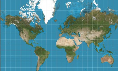
Mercator’s Map
The most popular map projection, Mercator’s projection, was developed by a Flemish cartographer and originally used as a nautical chart to aid European explorers.
The map features straight lines representing a constant course but contributed greatly to a size distortion of the African continent, making it appear much smaller than it actually is.
Mercator’s projection map is still considered the world map, used in classrooms, books and even Google Maps.


